It all starts with you.
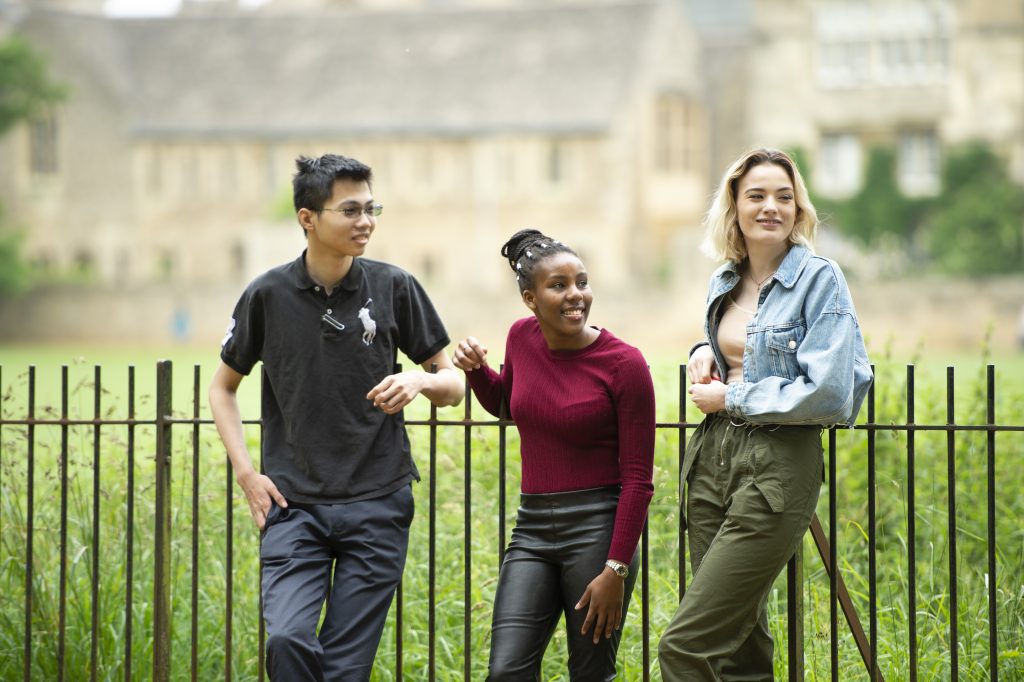
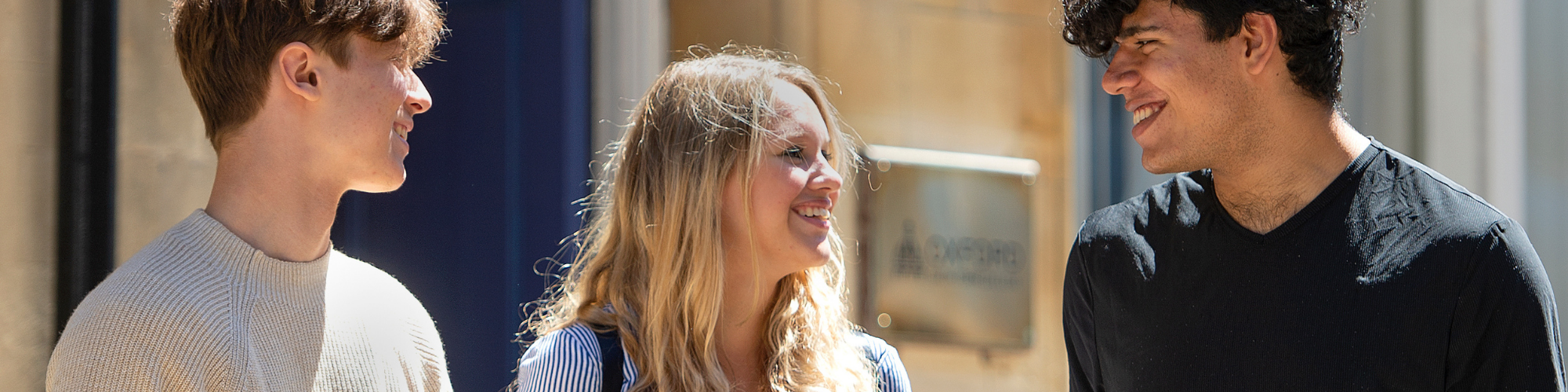
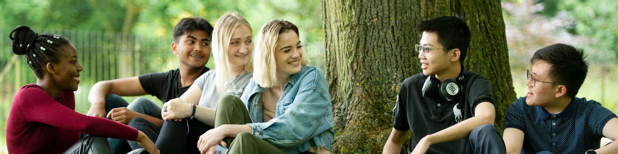
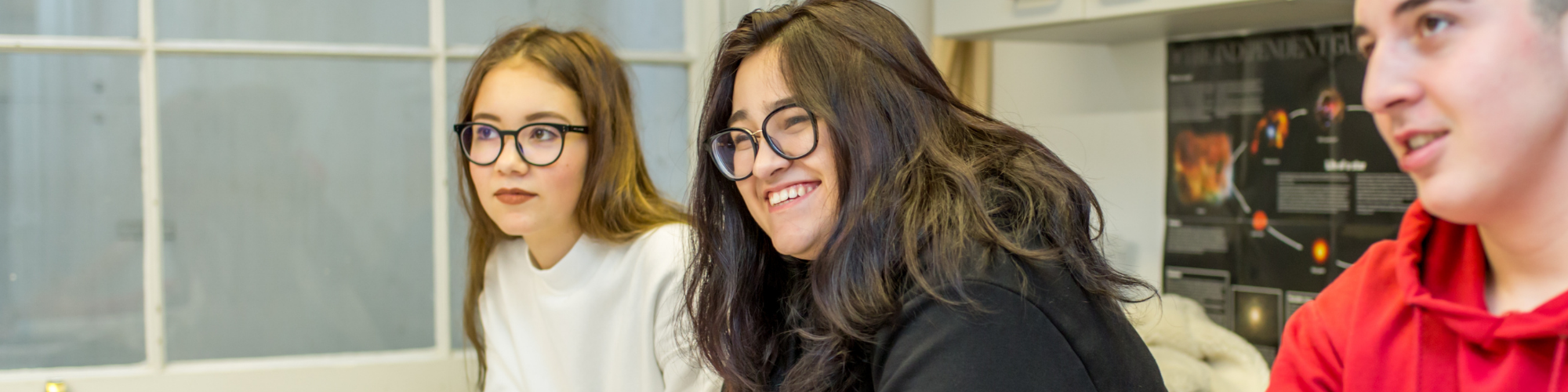
At Oxford Sixth Form College we strongly believe that one size does not fit all. Every student has different aspirations and abilities and through a focused, inclusive admissions process, small class sizes and individual, holistic support from Senior Tutors, we provide an environment in which you can really thrive and pursue your own personal path.
Established in 1988, Oxford Sixth Form College is one of the UK’s leading independent sixth form colleges for students aged 15-19. Formerly named Oxford Tutorial College, we sustain the tutorial tradition through an average class size of four students and through having no more than eight students in an A-Level class. We offer greater flexibility than mainstream schools with different course options available across A-Level, BTEC, GCSE and Pre-A-Level. Find out more
An enriching academic environment in central Oxford, for students of all abilities
A-Levels
Ask us about our A-Level programmes! We offer the flexibility to meet individual needs, with five-term and one-year courses in addition to the traditional Two Year A-Level.
learn more
BTEC Business
Are you looking for a more practical learning experience? Our BTEC Business programme could be perfect for you. It’s flexible, only involves a small exam element and is recognised by over 95% of top UK universities.
Learn more
Scholarship Opportunities
Do you already know which direction you want your career to take? We’re offering scholarships of up to 40% off tuition fees, to students interested in pursuing specific career paths.
LEARN MORE
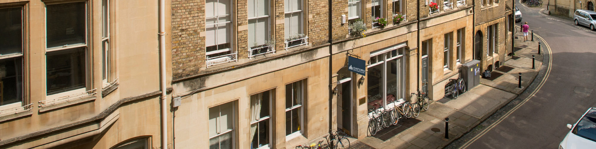
A City of Dreaming Spires
Oxford Sixth Form College is located in the heart of the city, just a few steps from the world-renowned University of Oxford, and historical museums such as the Ashmolean.
FIND OUT MORE